Step Inside the World
You enter through a doorway and the floor turns to glass. The bridge is thirty feet long and runs straight through the middle of a sphere three stories tall, and once you're on it you're standing at the exact center of the Earth — or at least at the exact center of 608 pieces of it. The Mapparium is a globe turned inside out: every continent painted on concave stained glass, lit from behind, curving away from you in every direction, including up. The first thing that happens is your sense of proportion breaks. Africa is enormous — far larger than the flattened maps of your school years ever suggested. North America, Europe, and Asia are jammed up against the North Pole; you have to tilt your head nearly straight back to find London or Moscow. Stand at the equator and the geometry finally makes sense: your eye is the same distance from every point on the map, the only vantage point from which no continent is distorted by perspective. It is the one view of the planet no satellite photo can give you — the world as it looks from the inside.
A Map That Stopped in 1935
Then the labels start registering, and the room becomes a time machine. SIAM sits where Thailand should be. Italian East Africa sprawls across the Horn. The USSR covers a sixth of the land on Earth in a single red expanse. French Indochina, the Belgian Congo, the Dutch East Indies — an entire vocabulary of empire, fired into glass. The map is drawn from Rand McNally's political maps of 1934, and it has never been changed. Violet marks the far-flung Portuguese empire — Angola, Mozambique — and the Japanese empire, which in 1935 still included Taiwan and Korea. There is no Israel and no Indonesia. The last panel installed tells the story in miniature: Persia had just renamed itself Iran while the globe was being built, so the glass reads "Iran" with "Persia" still visible in parentheses beneath it. Churchill actually designed the panels to be replaceable. The Church considered updating the map in 1939, 1958, and 1966 — and each time decided against it, first on cost and then on principle: the frozen map had become a historical artifact more valuable than any current one. What was meant to be a living document became a photograph of the world on the brink of war.
How You Build a Walk-In Globe
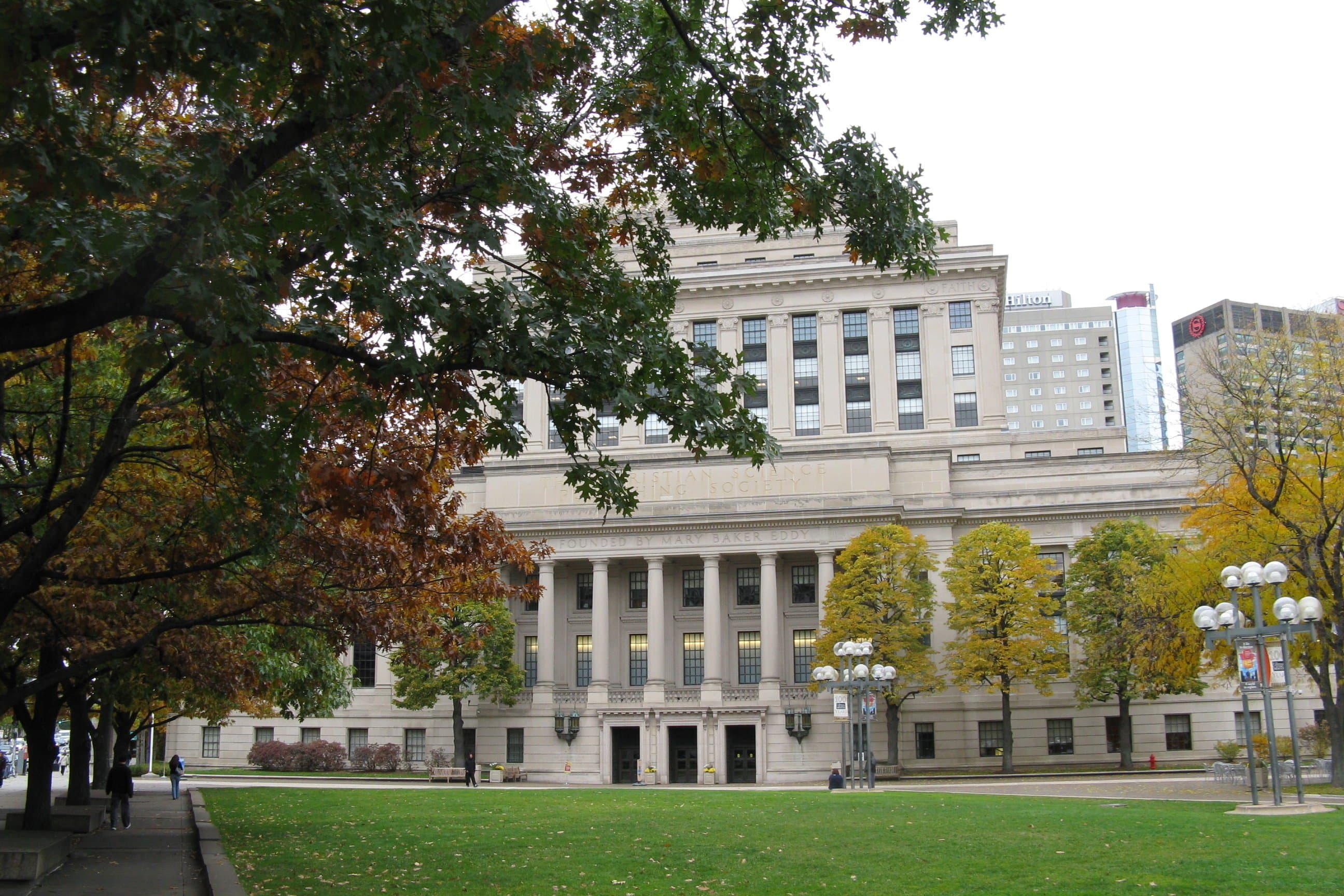
The man behind it was Chester Lindsay Churchill, the Boston architect commissioned to design the Christian Science Publishing Society's new headquarters. A newspaper empire — this was the home of The Christian Science Monitor — needed a lobby showpiece to rival the famous gigantic spinning globe in the New York Daily News building. Churchill had seen that globe and thought bigger: not a globe you look at, but a globe you walk into. The name comes from the Latin mappa, "map," and arium, "a place for" — literally, a place for maps. Construction began in April 1934. Churchill took a standard 1934 Rand McNally world map and had it photostatically enlarged, keeping every city name and letterform; Rand McNally's own geographers then drew full-size cartoons on a grid. His obsession was legibility — he insisted no viewer should ever be more than fifteen feet from any country on the glass, poles excepted, so that every word could be read from every point. Fact-checkers vetted the cartoons against the map collections of the Library of Congress and the U.S. Department of State before the drawings went to New York, where artists of the Rambusch Company traced them onto glass plates a quarter to half an inch thick, dusted them with powdered glass paint, and fired them in kilns. Red dominates the globe, and it isn't politics — red was simply the hardest color for the glass painters to achieve, and they showed off. On May 31, 1935, the Mapparium opened to the public, and more than 50,000 people came through in the first four months. A week after the debut, rumors swept Boston that city officials had condemned the so-called "Glass Room" as unsafe. They hadn't, and the crowds kept coming — more than ten million visitors since.
The Whispering Gallery
The glass does something no blueprint called for: it sings. The sphere is hard, smooth, and perfectly curved, so sound doesn't get absorbed — it travels. Stand at one end of the bridge and whisper, and someone at the far end hears you as clearly as if you were at their shoulder. The curved wall carries the whisper all the way around. Stand in the middle and the effect turns inward: your own voice comes back at you from every direction at once, a full 360-degree surround sound made of nothing but glass and geometry. The library calls it a whispering gallery, and it is one of the most perfect in existence — a complete sphere has no dead spots. Every tour pauses for the demonstration, and every group does the same thing: somebody whispers something they shouldn't have, and thirty feet away, everybody hears it.
Darkness, Then Light Again
By the 1990s the Mapparium was dimming. The hundreds of bulbs behind the glass were aging, the panels needed restoration, and in 1998 the globe went dark for four years. Serpentino Stained Glass restored the panels; Color Kinetics replaced the old lighting with computer-controlled LEDs capable of sixteen million colors. In 2002 the Mapparium reopened as the centerpiece of "How Do You See the World?" — and the globe learned to perform. Today a ten-minute presentation washes the 1935 world in light and sound: music, narration, and LED color illustrating how ideas and borders have moved across the decades. The recorded voices include Franklin D. Roosevelt, Jane Goodall, and Wangari Maathai. The map itself still hasn't changed — the show plays across the empires and vanished nations exactly as the glass painters left them. Ninety years on, the Mapparium remains what Churchill intended and more: a newspaper's monument to world-consciousness, a perfect acoustic chamber, and the only place on Earth where you can stand inside the past and look out.
Key Facts
- 608 stained-glass panels form a globe 30 feet in diameter and three stories tall; one inch on the glass equals about 22 miles.
- Opened May 31, 1935, from 1934 Rand McNally maps — and never updated; the Church rejected revisions in 1939, 1958, and 1966.
- Designed by Boston architect Chester Lindsay Churchill; glasswork by New York's Rambusch Company.
- A perfect whispering gallery: a whisper at one end of the 30-foot bridge carries clearly to the other; relit with LEDs in 2002.
Location Photography